ROAD OF THE LANDS OF GAIÀ
Start and end point: sources of Canelles de Santa Coloma de Queralt - Tamarit.
Distance: 62,850 km. by SolomÓ; 60,660 km. by Renau.
Type of route: linear.
Physical difficulty(*): moderate.
Technical difficulty(*): sections of asphalt, steep slopes, sections where you have to cross the river and sections of muddy ground.
Cumulative difference in level: 765 m of ascent and 1,429 m of descent.
Tracking marks: signs from the Regional Councils of Conca de Barberà, Alt Camp and Tarragonès. Connection with several recognized routes such as the path from Tarragona to Sant Magí and the path of Sant Jaume, both of a historical and pilgrimage nature; the Ruta dels Molins de Santa Coloma de Queralt and Les Piles, and with the approved trails GR® 7, GR® 172, GR® 172.1, GR® 175, PR®-C 2, PR®-C 3, PR®-C 21 and PR®-21.1.
(*) Physical and technical difficulty according to the SENDIF method: homogeneous methodology to determine and report on the difficulty of walking routes designed for those people who walk more sporadically. For more information: http://www.sompirineu.cat/
Description:
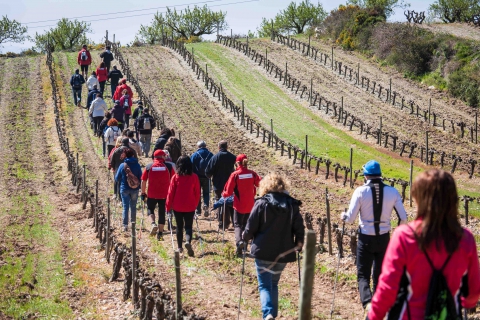
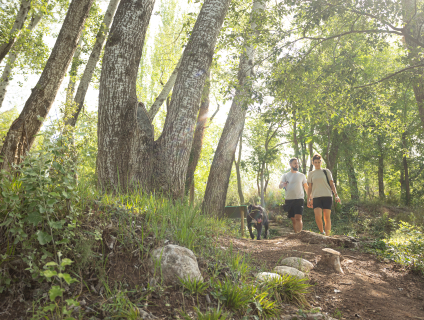
With the name of the road Terres del Riu Gaià, a walking route has been created that traces the course of the Gaià river, from its source at the sources of Les Canelles in Santa Coloma de Queralt to its mouth in the Mediterranean in Tamarit beach. It is a route of approximately sixty-five kilometers that allows us to get closer to the historical, patrimonial, natural, cultural, etc. wealth that is spread over every corner of the Gaià river valley and includes the counties of the Conca de Barberà, Alt Camp and Tarragonès.
The Terres del Gaià path, after Vila-rodona, splits into two, one section passes through Renau and the other through Salomó. At Catllar they join again until the Mediterranean.
Notícies relacionades


 Entorn Web · Àrea de Coneixement i Qualitat
 Oficina de Gestió de Turisme de l’Alt Camp


 turismealtcamp
 turismealtcamp
 turismealtcamp